
Finding People Along South Pasadena Streets
A useful street directory search begins with one valid address. South Pasadena parcels sit inside Los Angeles County, but the county's public tools do not all index by the same key. The Assessor Portal accepts a situs address or AIN. The Assessor map lets a researcher inspect adjacent polygons. RR/CC needs a party name and year for a deed search. The library's reverse sections turn a known historical address into a listed occupant for selected years. Walking the chain in that order keeps each claim tied to the record that can support it.
- Enter the address in the Los Angeles County Assessor Portal and save the AIN, situs, legal description, and building facts.
- Open the Los Angeles County Assessor Map, locate the subject polygon, and record nearby parcel AINs one at a time.
- Use the Assessor help desk or district channel for current owner information because the public web view omits owner names.
- Take the resolved party name and likely year to the RR/CC grantor and grantee index or copy-order process.
- For earlier households, browse the South Pasadena Library's reverse directories, then compare newspapers, permits, and census entries.
The flow is address to AIN to controlled owner channel to named deed to historical occupant. A street directory is strongest when that order is preserved.
South Pasadena Street Record Chain
Address-keyed sources answer separate parts of the same street question. The assessor identifies land and building facts. The recorder identifies parties to an instrument. City permits show project activity, and reverse directories show listed occupants in selected historical volumes. Voter data is restricted and cannot be browsed casually by street. A current street directory therefore needs more than a single row.
| Address record | Keeper | What it can show | Access |
|---|---|---|---|
| Parcel roll and map | LA County Assessor | AIN, situs, legal parcel, values, building facts | Free address/AIN portal |
| Owner channel | Assessor | Assessed owner and tax-mail destination | District, help desk, or data route |
| Deeds and liens | LA County RR/CC | Parties, dates, legal description, recording number | Counter or paid order |
| Permit history | South Pasadena Building and Public Works | Project, applicant, contractor, address event | OpenGov or request |
| Reverse directory | South Pasadena Public Library | Listed occupant by street and number | Reference desk or digitized volume |
| Voter file | California Secretary of State | Approved-purpose registration fields | Self-lookup or qualified request |
Linking the sources does not merge them. The AIN ties parcel facts to a legal description, while a street name helps locate a reverse entry or permit. A name in a deed is a named party, not automatically a resident. A directory listing is a historical lead, not current proof.
Turn South Pasadena Streets into AINs
The Assessor Portal has Basic Search, Legal Search, and Map Search modes. The address or AIN field is the real entry point. AINs are commonly shown as a four-digit map book, three-digit page, and three-digit parcel. Preserve the exact form from the result, because a street label can be entered in more than one way while the parcel key remains the bridge to later work.
| Field or control | Type | Use in a street directory |
|---|---|---|
| Search by AIN or Address | Text/autocomplete | Find the subject situs or known parcel key |
| Basic Search | Tab | Open the primary parcel search |
| Legal Search | Tab | Use tract and lot details when the street is old |
| Map Search | Tab | Inspect the subject and adjacent polygons |
| Owner-name search | Unavailable online | Use the controlled Assessor channel instead |
The Assessor address search supplies the first stable key for a South Pasadena street directory trail.
Once the parcel is identified, write down its legal description before searching older records. That note can resolve a street name change or a multiunit address.
Map South Pasadena Street Parcels
The Assessor map is the practical street-browse view. Search one address, zoom until parcel boundaries are visible, click the subject polygon, and capture the AIN for each parcel that borders or faces it. The map shows land geometry, not social ties. A radius is not the same as a shared boundary, and one postal address can cover several units on one parcel.
- Parcel
- A mapped land unit with its own AIN; it may contain several postal units.
- Situs address
- The physical location assigned to the parcel or improvement.
- Plat
- A recorded or mapped subdivision plan that helps place lots and streets in legal context.
- Criss-cross directory
- A historical reverse section arranged by street and house number, not a modern map.
The Assessor map help explains the AIN workflow and the online owner-name restriction.
Do not promise a buffer export from LA County Planning GIS-NET. Its official description serves unincorporated areas, while South Pasadena is incorporated. Use the Assessor map and city planning material for this city.
Bridge South Pasadena Parcels to Deeds
Los Angeles County RR/CC records real-estate instruments from 1850 forward, but its index is intentionally offline. The recorder does not begin a copy request from a street address or APN. A street directory researcher must first resolve the current assessed owner through a permitted channel, then search that party as a grantee around the likely acquisition year. The purchase deed supplies the earlier grantor and the next legal description.
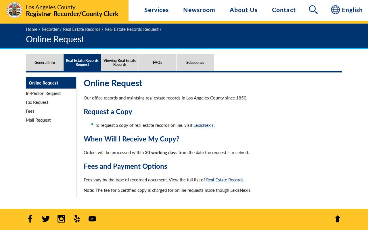
RR/CC offers in-person viewing, online ordering, and mail or fax requests. A participating branch may also help. A request can use a party name and recording year, document number, book and page, or document title. RR/CC lists plain-copy, certified-copy, search, handling, and delivery charges on its current schedule. It says online orders may take up to twenty working days, and its procedural phone line does not perform a real-estate search.
The RR/CC real-estate copy request page shows the route from a known party to a document.
Record the grantor, grantee, recording date, instrument number, and legal description. Those fields let a deed trail move backward without pretending the street index is online.
South Pasadena Street Permits Add Names
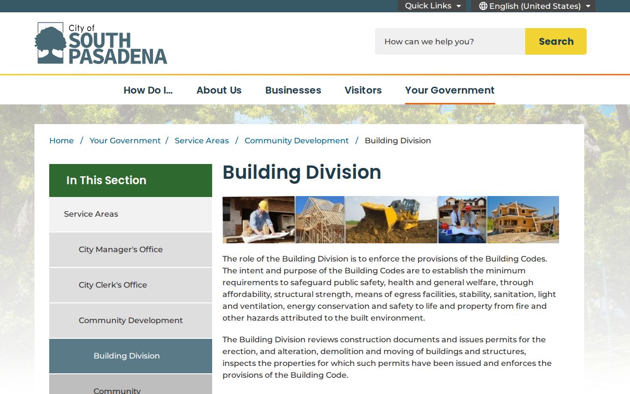
Permits add an event layer that deeds cannot. The Building Division's current workflow points to OpenGov, where an application can carry an application type, property or project address, applicant or contact, attachments, and an account-dependent dashboard. Historical public-search coverage was not verified, so older files should be requested from Planning or Building. The library's house-research guide directs researchers to (626) 403-7220 for building-permit records.
Public Works has a separate address trail for sewer, water-meter, excavation, and right-of-way work. Requests can go to PublicWorksPermits@southpasadenaca.gov, and the counter is open Monday through Thursday from 7:30 a.m. to 6 p.m. These records can name a contractor or applicant and date a project, but they do not form a continuous resident list.
The South Pasadena Building Division is the correct entry point for the current permit workflow.
A permit result belongs beside the address and project date. It can explain a remodel, addition, or demolition without identifying every person who used the property.
The South Pasadena Public Works permit page is the separate channel for work in the public right of way.
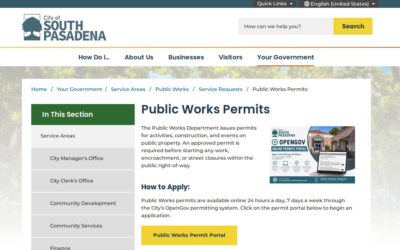
Keep city permits distinct from county deeds. One describes work at a place; the other records a legal instrument.
Follow Tax Clues Along South Pasadena Streets
The Los Angeles County Treasurer and Tax Collector can add tax-bill and payment-status context to an AIN and situs address. Tax material may show a mailing destination in the county system, but that destination is not proof of residence. Compare it with the Assessor parcel result and the recorded deed, and date every lookup.
A tax result can help explain why a street search has more than one address concept. The situs is the physical parcel. The owner mailing address receives tax correspondence. A legal description identifies land in the deed. The postal ZIP verifies delivery format. None of those fields alone names everyone who lives at the parcel.
The Los Angeles County Treasurer and Tax Collector is the proper source for tax-bill and tax-sale information.
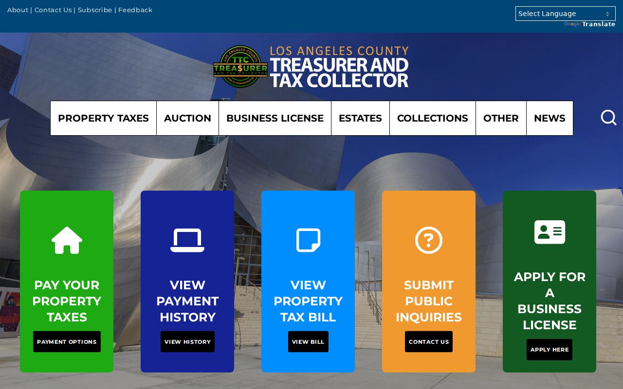
Tax information is a supporting clue in a South Pasadena street directory, not a substitute for the owner channel or a deed.
South Pasadena's Fell Street Clue
Historical street searches can fail because the street name changed. South Pasadena's Cultural Heritage Commission material records Orange Grove Place as formerly Fell Street, and the McCament Tract was platted in 1906. That local quirk matters when an older directory, deed, map, or newspaper uses a name that looks unrelated to the modern address.
Use nearby anchors such as Mission Street, Fair Oaks Avenue, Huntington Drive, Meridian Avenue, Oaklawn, Marengo, and Monterey Hills when comparing a scan to a present parcel. Pair the old street term with cross streets, house number, tract or lot, and the parcel geometry. Avoid silently changing the old wording in a transcription.
The city history and planning material linked through the South Pasadena Local History collection provide the local context for a street-directory search across time.
South Pasadena Reverse Directories by Address
The South Pasadena Public Library's selected reverse sections are the strongest historical by-address tool. The House Research guide identifies 1929 through 1947, 1955, 1958, 1961, and 1974. Browse the street, then the house number, and check nearby entries on both sides of the block. If the scanned run is OCR-searchable, verify each hit on the page image because columns, initials, and punctuation can confuse OCR.
Alphabetical city directory years need a surname first. A deed, census, newspaper, permit, or obituary can supply that surname. A reverse entry may list an adult occupant, spouse or widow notation, occupation, home indicator, and street address. It may omit children, renters, or unlisted adults. The full collection story belongs in the South Pasadena city directory archive, while this street directory uses the reverse years as one address step.
When a listing disappears, mark an interval rather than a conclusion. A move, a gap in publication, a change in name, or an OCR failure can all look like a departure.
South Pasadena Situs and Mailing
A street directory becomes less reliable when it treats every address field as the same. The situs is where the parcel lies. A mailing address is where tax or other correspondence goes. A legal description is the land reference used in a deed. A postal ZIP is a delivery code. The city name printed by USPS may not be a municipal boundary statement.
South Pasadena's ordinary street-delivery ZIP is 91030, while 91031 is associated with PO boxes. Verify a specific delivery address through USPS rather than using a ZIP as a parcel filter. Multiunit buildings and condominium parcels can also break the one-address assumption. When the goal is the immediate block, click each AIN; when the goal is a named person, move to the resident lookup workflow.
- AIN
- The Assessor Identification Number that anchors a parcel record.
- Mailing address
- The destination for tax or owner correspondence, which may be elsewhere.
- Residential occupancy
- A fact not established merely by an owner, tax, or parcel field.
What South Pasadena Street Searches Leave Private
A street directory can show land, recorded parties, public project activity, selected historical listings, and restricted civic records through their lawful channels. It does not show every household member, renter, utility customer, delivery recipient, or protected participant. DMV address data is controlled by the Driver's Privacy Protection Act and state law. Voter residence and contact fields are limited to approved uses, and Safe at Home protects qualifying participants.
Use the California Safe at Home program for confidentiality information and the Secretary of State's voter rules for file access. A missing name is not proof that a person is absent, and a public name is not permission to contact someone in a harmful way.
Lawful use. South Pasadena address records support personal, lawful research, house history, family history, and civic understanding. Using them to stalk, harass, threaten, intimidate, or evade a protected address can violate California law.
The street-by-street method works best when every result is dated, sourced, and limited to what the record actually says.